Science students build GeoTrail in McMaster’s backyard
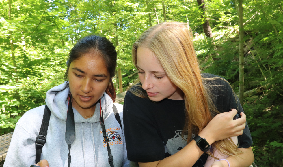
Kate Pearson and Shania Ramharrack-Maharaj’s GeoTrail — a virtual multimedia field trip experience — makes it easier to appreciate the beauty and biodiversity of Cootes Paradise.
Two students went into McMaster’s backyard to build their latest GeoTrail.
“Cootes Paradise is a hidden gem that’s right behind our campus,” says Kate Pearson, a graduate student in fluvial geomorphology with the School of Earth, Environment & Society in the Faculty of Science.
Pearson started working on the Cootes GeoTrail — which is like a virtual field trip, offering multimedia information on geological and ecological features at multiple stops along the trail — with Shania Ramharrack-Maharaj in September 2022.
“Shania and I wanted to showcase the trails around McMaster. You don’t have to hike very far for incredible views.”
A gem of biodiversity
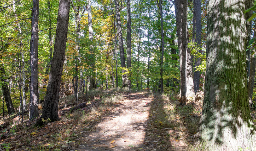
There’s lots to explore. Cootes Paradise is a fish sanctuary, a stopover for migrating birds and home to nearly 900 different kinds of plants, including Sassafras trees.
Cootes Paradise is managed by the Royal Botanical Gardens and recognized as a national historic site, a nationally important bird area and a provincial area of natural and scientific interest. It’s also in the Carolinian Life Zone, which makes it among Canada’s most biodiverse regions.
“We hope that everyone who visits Cootes uses the GeoTrail to better understand and appreciate the true beauty of the area and its unique ecosystems,” says Ramharrack-Maharaj, who graduated from the Integrated Science program in June and is currently a clean technology intern with the Sustainable Capacity Foundation.
“The biodiversity here is rare so it’s important that we spread awareness and do our part to protect it.”
Photos, footage, 3D models and more
Building GeoTrails is a five-step process. It starts with choosing a geologically and ecologically significant area. “Cootes Paradise checks those boxes,” says Pearson.
Stops chosen along a trail should have a mix of ecology, geology and fluvial features. Ramharrack-Maharaj chose eight stops along a four-kilometre route.
Students research the features at each stop and plan what’s needed, from 360-degree photos, camera shots, video clips, drone footage and virtual 3D models.
Drawing from original research and journal articles, along with their photos and videos, the team creates multimedia content for each stop, along with GPS coordinates. The GeoTrail is then published on the APGO website and accessible to everyone.
It’s a lot of work, but building GeoTrails doesn’t feel like it, says Pearson.
“Getting to hike, photograph and explore local trails is so much fun. I love that I can do all this as my job and then share our GeoTrails with the public. It’s our way of being science communicators and champions.”
A team of science champions
The duo are part of a larger team of McMaster students and faculty who are building GeoTrails in collaboration with GeoscienceINFO and their project coordinator Deana Schwarz.
Together, they’ve created seven GeoTrails along the Niagara Escarpment, plus five Urban GeoTrails at McMaster, the University of Toronto, Laurentian University and downtown Toronto.
The students are supervised by Daniel Dick and faculty members Carolyn Eyles, Alex Peace and Elli Papangelakis, the Fairley Gadsby Research Chair in Fluvial Geomorphology.
Eyles also oversees GeoTrail production with postdoc Katie Maloney and Schwarz. The McMaster team’s supported by the APGO Education Foundation and a MITACS Accelerate Grant.
