Second World War maps provide digital treasure for researchers around the world
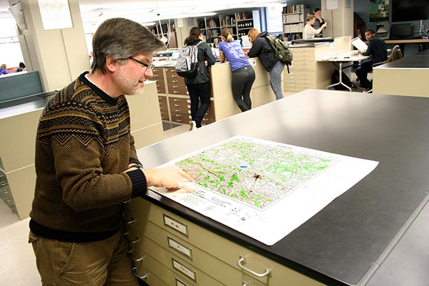
Map Specialist Gord Beck with a Second World War map of Hanover. A new Library website makes it easier to find and use maps of Europe and Africa produced by the British War Office's Geographical Section and the US Army Map Service.
A McMaster collection of 2,650 maps from the Second World War, once confined to paper, are now available to the world online.
McMaster’s library has launched a site that makes it easy to find and use maps of Europe and Africa produced by the British War Office’s Geographical Section and the US Army Map Service.
In some cases, the maps were adapted from maps captured, borrowed or otherwise obtained from their countries of origin.
All have been scanned at high resolution and are rich in details that are already proving to be valuable to scholars and amateur historians alike. The site includes links to documents that provide valuable context.
Map Specialist Gord Beck has supervised the building of the site, made possible by a large-format scanner that can accommodate entire map sheets at a single pass.
Alumni of McMaster’s School of Geography and Earth Sciences contributed to the purchase of the scanner.
The maps were scanned over a period of months by students working in the library. With a resolution of 600 dpi, the maps are print-quality and lend themselves readily to magnification.
The maps are significant because they show geographic features and human settlements that have since changed or even been lost since the Second World War.
Among the early users of the site, Beck explains, have been people searching their ancestral homes, including villages that were destroyed by conflict, or which have since been absorbed into larger communities.
The maps have already drawn calls from Canada, the US and Europe.
“We’re starting to become the place to go for research on those topics,” Beck says. “This stuff sort of snowballs.”
Beck explains that while the maps in question may not be rare, the ease of access and searchable format of the site makes them easy to find and use.
Some other institutions have either discarded their historical maps or stored them in places that are difficult to access, he said. Now it is easy for anyone with an Internet connection to find and use them.
The digital format also makes it far easier for researchers to compare the maps to others from different places or from different points in history.
Beck says the maps are so detailed that they could be used to construct three-dimensional models of landscapes that no longer exist.
